This online document is a means of sharing the adventure of traveling on America's waterways with friends and family. Last Dance is continuing to take her crew to historical, natural, beautiful, and interesting places. Enjoy the ride.

Wednesday, September 21, 2016

North Channel - Hotham Island


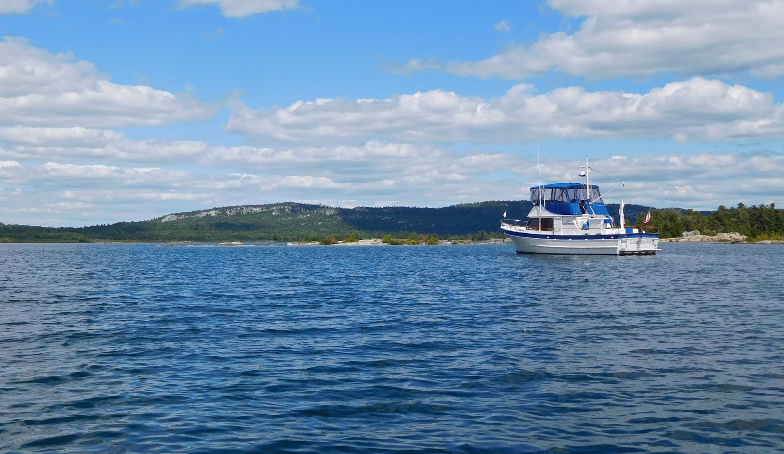
Hotham Island is one that does have inhabitants.  But, in this case, it is a plus.  Hotham has multiple coves perfect for anchoring and the surrounding area has even more protected coves.  Check the map in the post on Central North Channel.

The cove along the north midsection of Hotham has the only two houses on the island.  What makes this anchorage special is the people who have the house pictured above.  The main house is on the right and the small house is the "bunkie," a Canadian term for a guest house.


Norm and Elaine spent many summers cruising North Channel, most often anchoring near Hotham Island.  One summer someone had begun construction of this house. Norm decided to take a dinghy ride to offer his help. He was involved in construction, having many skills to offer. The property owner was puzzled at first, but accepted the offer.  Other cruising boaters at anchor, hearing Norm's stories of the construction, joined in.  Many afternoons, when the work was complete, a happy hour broke out.  Friendships were formed over shared work and relaxed conversation. 

Fast forward some years.  The owner past away.  His widow made a visit back to the Hotham home.   During a conversation with Norm and Elaine, she offered the home for sale, in part due to his efforts in building and their ensuing long years of friendship.  Norm and Elaine made the decision to have a land-based home at Hotham, purchasing the house.  


They decided to continue the tradition of friends gathering in the afternoon for a few drinks and conversation.  Everyone anchored in the cove is invited to join them at their home.  Dinghies begin arriving at the dock at 5:00 pm.  Note the Canadian flag.  Every cottage along the water in Canada has a flagpole.  When the residents arrive for the summer, the flag is hoisted.  When the season is over and they head home, the flag is then lowered.  An interesting tradition.

(Elaine Semrau photo)
A nice sized group formed from the boats at anchor on the evening Last Dance was at anchor in this cove.  Munchies were shared, beverages were imbibed, stories were told, and friendships made.                    This blog focuses on the geography of places visited, whether the natural or the constructed.  Friends made while cruising are one of the biggest positive factors making cruising by boat so rewarding.  However, a blog filled with photos of people, ones most readers of the blog will never meet, does not create as much interest as photos of beautiful and interesting places.  So, shots of nature and towns are selected to be shared. People are featured here for a couple reasons: to thank Norm and Elaine for their outstanding hospitality, and to illustrate an interesting story about people and friendships.

(Elaine Semrau photo)

Tuesday, September 20, 2016

North Channel - Fox Island


Fox Island, just north of the Benjamins, has multiple anchorages, the best being a narrow bay on the southwest end of the island, known as Fox Harbor.  The rock cliffs along the shore create a secure anchorage, but the entrance from the outer bay has a few hidden rocks under water.  The harbor has room for multiple boats, and even more boats when they tie the stern to shore and raft together.  The time at Fox allowed the crew to connect with some other Loopers and another DeFever.  Of course, conversation, drinks, and snacks were shared in the afternoon, atop one of the rock cliffs.  One in the group explained the term for such an activity - Rocktails.  Our vocabulary has expanded along with our good times.


Fox is another of the uninhabited and public property islands.  It is smooth granite like the Benjamins to the south, with intricate waterways begging for exploration by kayak and open forests perfect for hiking.  In previous years Fox had the best and most prolific crop of wild blueberries.  In 2016, the spring drought had all but eliminated the berries.  A few images of Fox follow.


North Channel - Benjamin Islands


The Benjamin Islands are the best-known anchorage spot in the North Channel, for good reasons.  There are two islands, North Benjamin and South Benjamin.  They are beautiful, solid red and black granite, have hiking opportunities, and have numerous coves for anchoring.  The most used, and largest harbor is the area between the two islands. The image above is a view of a small part of that harbor, taken standing on the north end of South Benjamin, facing west, with Last Dance tucked into a small cove.


The smooth granite makes for good hiking and exercise.  One area, on a section of pink granite, is called the ski slope due to its steep incline and snow-smooth surface.


A few days were spent in the harbor at the south end of South Benjamin.  Depending on wind direction, there are always multiple coves offering protection.  The Benjamins are surrounded by many small islands, creating narrow cuts and small coves.  It is great kayaking country, or for taking a dinghy on longer explorations.  In this image, Bonnie is headed for a walk ashore by kayak.


North Channel - Central Area


The central segment of the North Channel has many, many coves and islands that form beautiful anchorages.  This area has almost no development.  The map is marked with red dots indicating places that Last Dance anchored on the 2016 journey.  All these anchorages deserve places on the list of favorite anchorages in North America.

Little Detroit was not a stop.  It is a small cut between a skinny peninsula on the mainland and an island to the south.  This cut connects the central area of North Channel to Whales Back Channel. Both bodies of water could be called bays.  An appropriate name for a narrow cut is "striat," but this cut is certainly not straight.  A bend in the middle blocks views of opposing boat traffic and sometimes fast currents can create difficulties in piloting.  For Americans, Detroit means a large industrial city in Michigan, creating confusion as to the title of this spot in the North Channel.  Detroit is a french word meaning strait or cut - a narrow passage between two bodies of water.  Detroit, the American city, is located on a cut connecting Lake Erie and Lake St. Clair - thus its name.

North Channel - Matheson Island and Lake LaCloche


Matheson Island is among a string of islands south of the LaCloche mountain ridge.  This island has a cove created by it and multiple surrounding islands with sufficient depth for Last Dance.  The waters between Matheson and the mainland, about a mile away, are much too shallow and rock strewn for any travel except for the shallowest draft vessels.  Even travel in the inflatable dinghy resulted in a number of rock strikes and groundings on a trip to the mainland.


A circuitous route through the bay, in search of water deep enough for the dinghy, brought the Last Dance crew to the hidden mouth of the LaCloche River.  The river, many square miles of land in the area, and Matheson Island are all part of the LaCloche Provincial Park.


Travel by dinghy up the LaCloche River ended at the rapids.  There is a bridge across the rapids which is the beginning of a trail leading to Lake LaCloche.  The trail leads through natural forest, along the river and rapids, to the lake.  This is a wilderness area, far from any population and rarely visited.


A small glimpse of Lake LaCloche and the white quartz LaCloche mountains.  Not one other human was spotted on the hike, just flora and fauna and geological wonders.  There are days of hiking opportunities in this park.

Sunday, September 18, 2016

North Channel - Mosquito Island


A large island, Great La Cloche, lies just to the north of Little Current.  On its northwest corner is a small cove, made even more protected by a small island, Mosquito.  It is known as Mosquito Harbor.  The protection provided by a harbor has been mentioned numerous times in these descriptions of anchorages in Georgian Bay and North Channel.  Summer 2016 had many days and, even nights, that were plagued with high winds, creating rough waters.  Finding an anchorage where surrounding land keeps waters smooth is one of the important factors.

Another aspect often a benefit of anchorages in Georgian Bay and North Channel is that the surrounding land is public and accessible.  The opportunity for a walk is important to the littlest of the crew, Bonnie, and the hiking/exploring/nature experience to the human crew.  Unfortunately, the majority of the shoreline in this harbor is on Great La Cloche Island, marked private even though it is totally wooded and undeveloped.

Fortunately, the small island giving the name to this cove is not marked private, even though it once had a house, probably when this area was being logged, the largest industry in the area 100 years ago. The chimney and foundation gives evidence to the history of habitation.


The shoreline of Mosquito was made of a soft rock, broken into flat pieces.  The land access not only filled Bonnie's needs for a walk ashore, it gave Jill another chance to build a welcoming Inukshuk.

Tuesday, September 13, 2016

North Channel - Little Current


On the journey from Heywood Island to Little Current, a small cruise ship also headed to Little Current overtook Last Dance.  Although there is a huge bay of water around Heywood, the two little ships arrived at a narrow pass at the same time.  The water at this point looks wide, but the deep water is only along a very narrow channel known as Strawberry Channel.  Another interesting navigation challenge.


The swing bridge connecting Manitoulin Island and Little Current opened early for the cruise ship, allowing Last Dance to follow and make an early landing in town.


Little Current is misnamed.  Often, a big current is running in the channel and through the docks next to town.  The currents are unpredictable and can change quickly.  To help boaters understand the direction and speed of the current, one of the red channel buoys has a bottom shaped like a boat hull.  The bow points into the current and the amount of lean increases with the speed of the current.


There are some benefits to being at a dock in a town.  It is nice to be hooked up to electricity and get an internet signal.  Many people are concentrated at the docks giving opportunities to meet other cruisers, building friendships and learning about the area.  Often, there are needed resources close by.  Little Current has two grocery stores, unexpected in a town with a commercial district only a couple blocks long.  And, there are chances to interact with critters, though usually not the wildlife variety found at anchor.


There are disadvantages to marinas, also.  Rarely is the quiet of an anchorage experienced, with noises from cars, trains, businesses, factories, and people.  The shore and other boats block the cooling breezes.  And, as can be seen here, a grand sunset looses much of its impact due to the visual clutter.

North Channel - Heywood Island


Heywood Island is a large island lying between Killarney and Little Current.  There are a series of coves and smaller islands along the north shore, creating multiple safe harbors.  Because of its proximity to Little Current, the only place with grocery stores, it is a popular spot.


A pair of eagles had a nest on one of the small islands.  In this image, the female eagle can be seen on the nest and a juvenile eagle, full sized but without the characteristic white feathers, stands on the left.


The spot where Last Dance was at anchor provided a view of the nest.  Both parents are on the nest here.  The male had just returned with a meal he had captured.  About a week later, it was reported that the eagles were giving flying lessons to the eaglets.


Sunrise at Heywood.  Being at anchor allows one to experience the many beautiful aspects of nature.

North Channel - Snug Harbor


Yes, there is a Snug Harbor in North Channel also.  This view is looking out toward the entrance, illustrating well that Snug is a totally protected harbor.  Although carved into the same peninsula as Covered Portage, this cove is different.  It is deep.  The shallowest spot during Last Dance's visit was 35 feet deep and at the base of the cove, where one might expect shallow water, it was over 45 feet.  Anchoring in deep water requires a long rode to the anchor, resulting in large swing circles.  The shore does not have the high rock bluffs of Covered Portage, but does have some height and tall trees creating protection from winds of all directions.  And, while the cove is deep, the entrance cut is shallow, making getting into Snug Harbor a tricky proposition.


Another feature of Snug Harbor is a marked hiking trail across the peninsula to Fraser Bay.  The trail leads through very thick wooded areas, along a lake, and out to a rock beach on the bay.


This underlying rock structure at this point of the peninsula is layered, with horizontal strata.  It is broken at the water's edge from waves, making natural steps down to the water.  Good for hikers.  Also good for bears.  The edges of the rock steps has provided the bears with a convenient hone to sharpen their claws.  Evidence was abundant along the shore.


While interactions with the wildlife are a highlight of the cruise through Georgian Bay and North Channel, up close and personal encounters with bears are not desirable.   However, it is good to know that they are still thriving in this area.


The layered rock broken by the lake's waves makes many small, flat rocks that comprise the beach surface.  A previous hiker took advantage of the rock-strewn beach to construct a large Inukshuk.  This Inuit symbol of welcome or indication of appropriate path does create a sense of comfort and has become an art form.

Saturday, September 3, 2016

North Channel - Covered Portage Cove


A small and shallow cove lies within a mountain ridge along Killarney Bay.  In ancient history, it was a place that canoes where portaged across the land to greatly shorten the distance traveled to reach Fraiser Bay and Baie Fine.  It appears to be too small, and the nautical charts indicate too shallow, to have more than a couple boats at anchor.


This image is looking toward the opening of the cove and out into Killarney Bay.  This is a well-protected cove.  Covered Portage Cove is larger than it appears on charts and the almost flat bottom allows anchoring all across the cove, right up to the rock walls.  The extra 2' 9" of water level of North Channel helped create sufficient depth for vessels with a deeper draft.  In 2016 the maximum depth was 8.5 feet.  In a year when water levels are below datum, it would be difficult to enter the cove.  How was the aerial shot made?  The answer is one of the attractions of Covered Portage.


The ridge around the cove is 125' high, and more at some places.  When high winds kick up, the waters stay smooth in the cove.  What was planned to be a short stay for Last Dance turned into five days as a great place to hide from a multi-day storm.  The crew returned to a second visit later in the season.  This has to be one of the most beautiful, interesting, and protected anchorages anywhere in North America.


Storm clouds approach.  Weather watching is critical to comfort and safety on the water.  Accurate prediction of wind and sea state have to be determined to keep a boat from being in peril.  It was nice to be in a secure anchorage as nasty weather approached.


One of the aspects that makes Covered Portage a nice place to spend some time is hiking trails that can be reached from the cove.  At the base of the cove, along the white rock wall next to Last Dance in the photos above, there is a trail that leads up the ridge then along the top.  Good exercise and interesting woods hiking.


The ridge runs the length of the cove, with the highest point being at the east end near the entry to the cove.  Along this section, one is 125 feet above the water where the boats are anchored.  It was from near this point where the aerial photo was captured.


A bit of rock climbing is required to reach the summit   For altitude-challenged Floridians, hiking in the mountains, gaining view high above surrounding waters, is a rare experience.


There was another trail, with access along the water, that lead up the southern ridge or out to the west side of the peninsula.  On a hike of this trail, a plateau was reached that had some scattered rocks.  The rocks were crafted into an Inukshuk by the resident rockhound on Last Dance.


It is always interesting to see how things in nature struggle to survive. This tree has survived for many years without any soil for its roots and having to battle winds that come across the ridge.  Its crooked trunk attests to the difficulties endured.


A view to the west with a corner of Fraiser Bay and the Blue Ridge Mountains above Baie Fine in the distance.


Another summit reached.  With multiple hiking opportunities, Covered Portage offers days worth of new experiences for the cruiser.


Local knowledge creates greater options for boaters.  Although the cove is shallow, the bottom is fairly flat.  As demonstrated by this trawler, good depths continue at this spot right up to the shore.  They were able to put the bow on shore, the beam next to a rock, and secure the boat with an aft anchor, while maintaining sufficient water depth under the boat.


Covered Portage Cove - just one of the many amazing beautiful and enjoyable anchorage in the North Channel.